GPS Training Boosts Field Data Collection for Sulla Mapping Across North Africa
Start Date
June 04, 2025
End Date
June 04, 2025
Type
Training course
Location
Tunisia

GPS Training Boosts Field Data Collection for Sulla Mapping Across North Africa
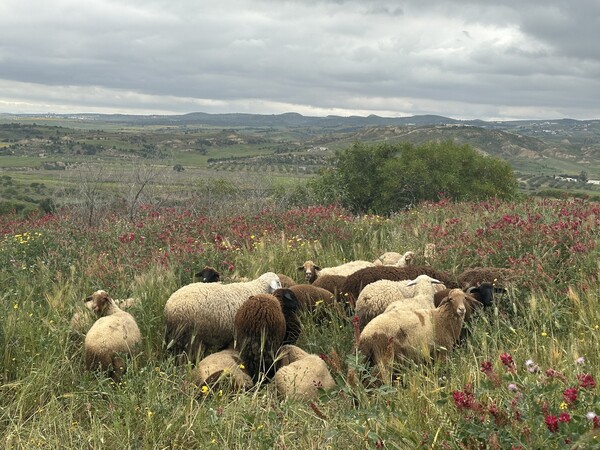
As part of the ongoing efforts to promote the sustainable cultivation of Sulla (Hedysarum coronarium) in North Africa, a specialized training session was organized by ICARDA scientists Dr. Sawsan Hassan and Dr. Abeyou Worqlul to build the capacity of Tunisian national staff in GPS-based field data collection. This training is a critical step toward developing a suitability map for Sulla, which will guide future interventions by identifying optimal planting areas based on soil, climate, and vegetation characteristics.
The training targeted 15 staff members from different regional offices of the Office of Livestock and Pasture (OEP). The objective was to equip participants with practical skills in using GPS technology for accurate geospatial data collection and site monitoring.
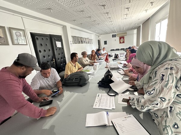
Through interactive sessions and hands-on exercises, the participants gained a deeper understanding of how to collect and manage spatial data in the field. They learned to use GPS tools to record key land attributes, which will support the mapping and long-term monitoring of Sulla planting sites across the country.
This training is part of a broader roadmap jointly developed by national and international partners to scale up Sulla cultivation in Tunisia. By strengthening the technical capacity of OEP staff, the initiative aims to ensure better planning, targeted interventions, and improved decision-making based on reliable field data.
The knowledge and tools provided during the training will directly contribute to the creation of a Sulla suitability map,a strategic output that will enhance land-use planning and promote sustainable forage production with low methane emissions, contributing to climate change mitigation efforts.


