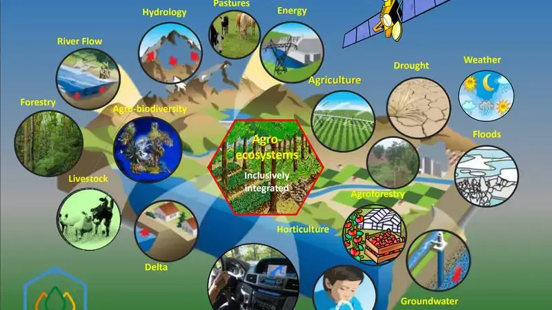
Innovations create tremendous opportunities to address knowledge gaps and multiply demand-driven interventions. ICARDA's state-of-the-art GeoAgro driven remote-sensing and mapping tools provide critical information on cropping systems dynamics, on-farm analytics, weather/climate patterns, biomass, water, land productivity, and scaling domains.
In addition, the award-winning Monitoring, Evaluation and Learning (MEL) online platform for research for development and knowledge management, co-developed by ICARDA and other CGIAR centers, provides multi-stakeholder collaboration and open access data sharing, helping users to collect, understand, visualize, and utilize data.
ICARDA's earth observation systems, open access platforms, artificial intelligence, systems modelling, machine learning, ICTs, cloud computing platforms, and field and molecular research data, along with smartphone-enabled 'citizen science,' increasingly make 'big data' analytics smarter, interoperable, and more useful. They help to provide valuable information used in critical decision-making at multiple scales.
Through GeoAgro, we deliver advanced open access, big data, and data-driven services to governments, research institutions, and farmers. Mobile tools like GeoAgro Pro and AniCloud offer farmers information about extension advisories, cropping systems, climate, and training and share vital farm, crops, and livestock-related data that researchers and policymakers can use.
