ICARDA and U.S. Forest Service Strengthen Flood and Erosion Preparedness in Uzbekistan

ICARDA and the United States Forest Service (USFS) are enhancing flood and erosion preparedness in Tajikistan and Uzbekistan through advanced geospatial modeling, field validation, and local training. The collaboration enhances national capacity for data-driven risk assessment, enabling Central Asian communities to transition from reactive disaster response to proactive climate resilience and prevention.
Mountain and foothill communities across Central Asia face growing threats from flash floods and soil erosion, intensified by changing rainfall patterns, accelerated snowmelt, and widespread land degradation. In Uzbekistan and Tajikistan, these hazards endanger lives, infrastructure, and agricultural lands each year underscoring the urgent need for science-backed prevention and emergency readiness.
Under the "Degradation Prevention: Integrated Land and Climate Vulnerability Assessment to Mitigate Against Erosion and Flash Floods in Central Asia" Project, which is implemented by ICARDA in partnership with the United States Forest Service's Office of International Programs and Trade (USFS/IPT), with funding from the US Department of Defense's Central Command, we are addressing the escalating risks.
"By combining international expertise with local knowledge, ICARDA and the US Forest Service, are building capacity, strengthening institutions, and implementing practical solutions to manage floods, erosion, and land degradation." - Dr. Akmal Akramkhanov, Senior Scientist - Sustainable Land Management and CAC Regional Coordinator, ICARDA.
The project aims to strengthen national and regional capacities for assessing and mitigating flood and erosion risks through the use of modern geospatial tools, research collaboration, and emergency-oriented decision support. Using remote sensing, Geographic Information System (GIS) modeling, and the Revised Universal Soil Loss Equation (RUSLE), the project team maps erosion intensity in Tajikistan and Uzbekistan, and develops an interactive dashboard for emergency agencies, hydrometeorological services, and environmental planners to integrate into their own systems. This will help in designing targeted mitigation measures, such as slope stabilization, reforestation, and early warning interventions.
“This collaboration bridges science and practice,” said Dr. Mira Haddad, Research Associate - Spatio-Temporal Assessment and Project Manager, ICARDA. “We combine remote sensing and modeling with on-farm and landscape-scale interventions to enhance ecosystem services, reduce land degradation, and turn geospatial data into actionable insights that help countries move from reactive disaster response to proactive prevention.”
With its strong emphasis on emergencies and disaster risk reduction, this initiative bridges scientific research and practical action. It promotes a shift from reactive response toward proactive prevention and resilience, ensuring that data-driven planning and preparedness become central to managing the region’s growing flood and erosion threats.
Field Validation Across High-Risk Landscapes

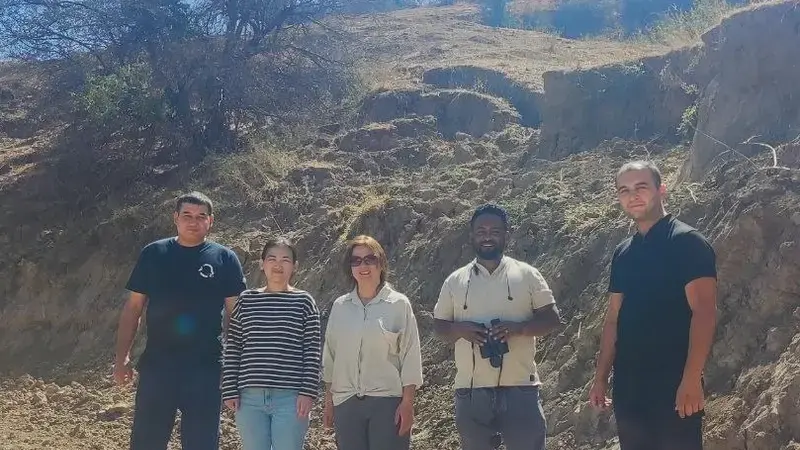
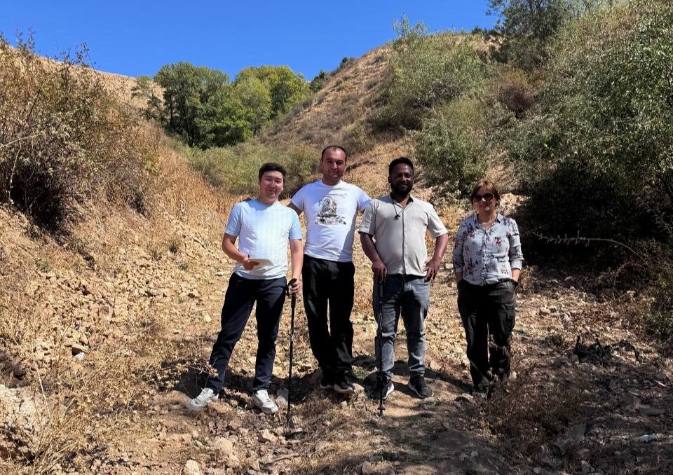
To complement regional modeling and mapping, ICARDA, with its national partners, conducted a series of field validation missions across erosion- and flood-prone areas in Uzbekistan and Tajikistan. The primary objective was to verify and calibrate the analytical outputs generated by the RUSLE using real-world data on terrain, soils, and land-use conditions.
Joint teams of national specialists and experts from emergency and forestry services surveyed representative catchments with steep slopes, deforested hillsides, and fragile farmlands. Field observations documented visible erosion features such as rills, gullies, and sediment deposition zones, strengthening the accuracy of regional erosion maps and providing crucial evidence for understanding how degraded land and heavy rainfall interact to trigger flash floods.
Building Local Capacity through Training

As part of the project’s capacity-building activities, ICARDA and the Research Institute of Environment and Nature Conservation Technologies (RIENCT) organized a three-day training session on “Soil Erosion Assessment and RUSLE Application” held in Tashkent, Uzbekistan, from November 5 to 7, 2025.
The event gathered 10 men and 10 women (20 total participants) from key agencies and universities involved in flood-risk management, hydrology, agriculture, and environmental protection, including the Ministry of Emergency Situations (MES), the Ministry of Ecology, Environmental Protection and Climate Change (MoEEPCC), the Hydrometeorological Service Agency (Uzhydromet), the Ministry of Water Resources (MWR), the Agency for Forestry and Combating Desertification, as well as academic institutions including the TIIAME-NRU, Tashkent State Agrarian University (TSAU) and the National University of Uzbekistan (NUUz).
Participants gained hands-on experience with ArcMap in preparing and interpreting spatial data layers, such as rainfall, soil, slope, and land cover, to generate erosion-risk maps for flood mitigation and land restoration planning.
“The practical part helped us connect modeling results with what we actually observe in the field,” said a hydrologist from Uzhydromet.
The training also strengthened professional links among experts from emergency, environmental, and academic sectors working toward the shared goal of reducing flood and erosion risks through science-based planning.
“It was especially valuable to see how these methods can be adapted for emergency assessments in mountainous districts,” shared an engineer from the Ministry of Emergency Situations.
Regional Collaboration for Resilience
The project reflects the continuing collaboration between ICARDA and USFS in advancing scientific capacity for climate resilience and disaster preparedness in Central Asia.
The event received wide coverage in Uzbekistan’s media, including through the Ministry of Ecology, Environmental Protection and Climate Change (MoEEPCC) outlets, official government channels, and national press, with participants further amplifying the training’s impact through their organizations’ platforms.
Contributor:
Nuriddin Samatov, Research Assistant - Stakeholder Engagement and Capacity Building Consultant- Uzbekistan
